
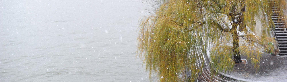
JACKSON, Wyo. Following several weeks of unseasonably mild weather, light snow and colder temperatures are in the forecast over the next week, while longer-range weather models are at least hinting at a more active pattern in December. Recent Weather Pattern This is currently on track to be the least snowy November in the Tetons since 1976, though with some light snow expected before the end of the month, we’ll revisit these statistics next week. November has also been unseasonably warm with temperatures running 9º to 10º F above average across the region. While long-term temperature data and records are limited in Jackson prior to 2010 (lots of data gaps), nearby locations with better data, including Riverton and Idaho Falls, are on pace to have their warmest November on record. The lack of snowfall and the unusually warm temperatures have led to all three local ski resorts delaying their openings indefinitely until the pattern improves. During the past few days, we have seen some steps taken toward a more winter-like pattern. A cold front moved through on Monday, and the town of Jackson received its first measurable snowfall. The Tetons have also picked up a few inches of snow this week. Here is a 7-day weather summary for the town of Jackson: For perspective, the average high and low temperatures in Jackson on November 26 are 36º and 16º. Upcoming Weather Pattern We will continue to inch our way toward winter over the next weeks with light snow opportunities along with colder temperatures and better snowmaking conditions for the ski resorts. But first, we will see a brief return to milder temperatures on Thursday and Friday with highs in the 40s. We could see a few light snow showers first thing on Thursday morning, but then it will dry out by Thursday afternoon. On Friday, a cold front will arrive from the north late in the day, resulting in a quick burst of snow during the late afternoon to early evening hours right around the time of the Town Square Holiday Lighting. Snow could become heavy at times during the frontal passage, leading to slick roads over the pass and in the valleys on Friday evening. However, the short duration of the event will lead to light amounts, ranging from 1-3 inches in the Tetons and a half-inch to one inch in the valley. Colder and drier conditions will prevail behind the front on Saturday and Sunday with highs in the low 30s and lows in the single digits to teens, depending on cloud cover. A weak disturbance will slide south of our area on Saturday night and Sunday morning, potentially leading to a few light snow showers, but any accumulations look to be minimal at this time. Early next week, a storm is projected to slide in from the northwest on Tuesday (Dec 2), which will bring us our next chance of meaningful snow. While the overall pattern favors light snow events right now, looking at the European Ensemble Model’s 7-day snowfall projection, we can see decent amounts projected to add up over time. Looking further out, there are signs that the pattern could become conducive to more frequent and/or stronger storms heading into the first weekend and second week of December. Most models indicate that a high pressure ridge that has been in place over the West Coast will weaken and shift further west out in the Pacific. This would, in theory, open the door to stronger Pacific storm systems to move into the Pacific Northwest and Northern Rockies. But this is still more than a week away, so a lot can still change between now and then. Stay tuned. Alan Smith, Meteorologist.
https://buckrail.com/gradual-transition-to-a-more-winter-like-weather-pattern/
Gradual transition to a more winter-like weather pattern
Reply